


Selling, supplying and integrating
hydrographic and geophysical systems:
- Installing hydrographic monitoring systems (wavemeters, meteorological systems, current profilers)
- Installing hydrographic systems (echosounders, sonars, sub-bottom profilers)
- Implementing systems for geophysical surveys in sea and inland waters
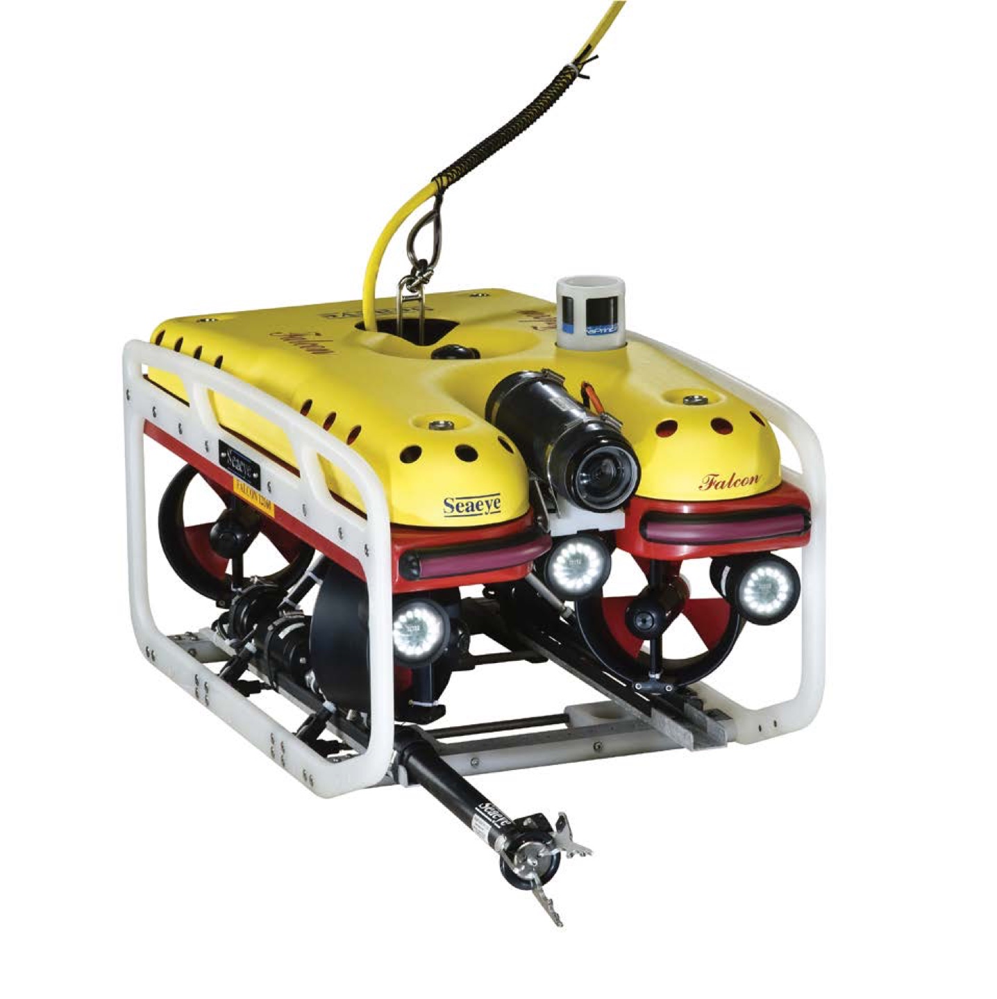
- Implementing systems for underwater visual inspections (ROVs)
- Supplying survey equipment
We sell specialist equipment, software and consumables for oceanographic, hydrographic, geological, geophysical and environmental protection research.
The devices we supply are tailored to the individual needs of customers, which includes integration aboard vessels and modernization by our specialists. We provide warranty and post-warranty service of solutions implemented by our company.
Research & survey devices
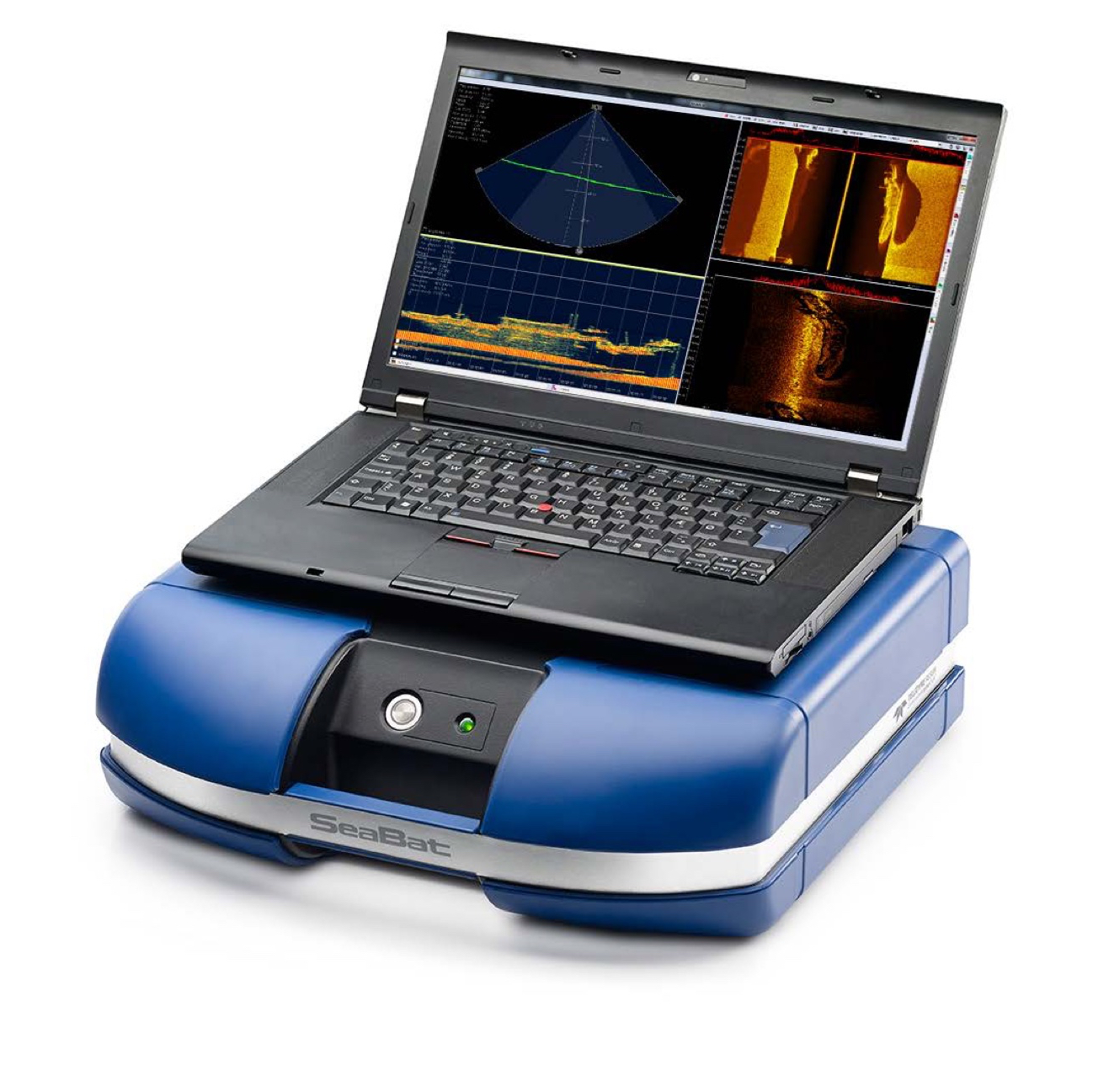
- Multibeam and single beam echosounders
- Towed sonars
- Magnetometers
- ROVs
- Underwater positioning systems
- Acoustic release transponders
- Multiparameter CTD (conductivity, temperature, depth) devices
- Inertial positioning systems
- Acoustic Doppler Current Profilers (ADCP)
- Hydrophones
- CODA acoustic data acquisition systems
- Lightweight Release Transponders (LRT)
- Spare parts and consumables for devices
Hydrographic software
- Software for acquisition and processing of the following data:
– bathymetric
– sonar
– seismo-acoustic
– magnetometric
Should you want to discuss details of orders you possibly intend to place, please contact our sale processes coordinator at mateusz.jerzak@envia.com.pl
SEE OUR REALIZATIONS

Realization: Tests

Realization: Service

Realization: Delivery

Realization: Delivery

Survey project
logistics and management:
We provide logistic support for research and survey projects by means of ensuring our customers access to vessels, warehouses, equipment, survey devices, data acquisition and post-processing software, as well as human resources: surveyors, survey team leaders, and boatswains. We can manage the whole research and survey process, if needed. Envia is the first company in Poland that has received a relevant ISO certificate.
Logistic support for projects:
We provide logistic support for research and survey projects by means of ensuring our customers access to vessels, warehouses, equipment, survey devices, data acquisition and post-processing software, as well as human resources: surveyors, survey team leaders, and boatswains. We can manage the whole research and survey process, if needed. Envia is the first company in Poland that has received a relevant ISO certificate.
We willingly accept challenges that consist in management of comprehensive research processes requiring mobilization of large amounts of various resources and coordination of multiple elements. When coordinating research projects, we utilize proven procedures which have been improved over many years and enable optimal utilization of resources, conducting works in a safe manner, and informing the Customer on a current basis about the course of the research process.
Survey project logistics and management:
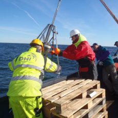
- Providing research vessels, including sea-going vessels [link to DHI case study]
- Providing survey devices
- Providing specialists – surveyors, hydrographers, geophysicists, ornithologists
- Providing data analysis specialists
- Survey management
- Creating survey documents and reports
- Clearing research projects
We most often rent out to our customers calibrated and integrated survey devices manufactured by Teledyne-Reson, Edge-Tech, Geometrics, Saab Seaeye, S.I.G., Nortek, and also research process support systems manufactured by Sonardyne, Applanix, Trimble, QPS, Coda Octopus, Caris. We charter vessels capable of water and soil sampling, conducting benthos research, servicing survey buoys, carrying out bathymetric and geophysical research, and making ornithological observations. We provide highly-qualified staff including oceanographers, navigators, geophysicists, survey system integration specialists, and ornithologists.
Survey equipment rental
- Multibeam and single beam echosounders
- Towed sonars
- Underwater positioning systems
- Magnetometers
- QINSy and CODA acoustic data acquisition systems
- ROVs
- Multiparameter CTD (conductivity, temperature, depth) devices
- Acoustic Doppler Current Profilers (ADCP)
- Hydrophones
- and a multitude of other devices
Hydroacoustic and magnetometric data processing
We provide services consisting in survey data processing and elaboration, as a result of which maps and research reports are created.
- Bathymetric data processing with the use of software developed by QPS
- Sonar data processing with the use of software developed by CodaOctopus
- Seismo-acoustic data processing with the use of software developed by CodaOctopus
- Magnetometric data processing
Each research project requires proper preparations. Should you want to discuss details of your planned research or survey project, please contact us at: dorota.jankowska@envia.com.pl
SEE OUR REALIZATIONS

Realization: Survey

Realization: Logistic
Realization: Tests
Aquatic environment surveys
We carry out surveys of sea and inland waters with the use of advanced technologies, and basing on many years of experience and ISO quality management systems introduced at the company. The utilized technologies and management systems guarantee high quality of data, efficiency of the research process and minimization of risk and costs.
We carry out surveys of sea and inland waters with the use of advanced technologies, and basing on many years of experience and ISO quality management systems introduced at the company. The utilized technologies and management systems guarantee high quality of data, efficiency of the research process, and minimization of risk and costs.
We offer all types of aquatic environment surveys, including in particular:
- Hydroacoustic surveys of the bottom
- Shallow geophysical surveys
- Hydrological surveys
- Hydroacoustic and magnetometric data processing
- Surveys of physical and chemical parameters of water
- Water and sediment sampling
Hydroacoustic surveys of the bottom
- Bathymetric surveys with the use of single beam and multibeam echosounders
- Sonar surveys with the use of a high-frequency side scan sonar
Shallow geophysical surveys
- Sediments structure surveys with the use of seismo-acoustic systems
Hydrological surveys
- Hydrological profiles of watercourses and coastal zones with the use of total stations and RTK GPS systems
Hydroacoustic and magnetometric data processing
- Bathymetric data processing with the use of software developed by QPS
- Sonar data processing with the use of software developed by CodaOctopus
- Seismo-acoustic data processing with the use of software developed by CodaOctopus
- Magnetometric data processing
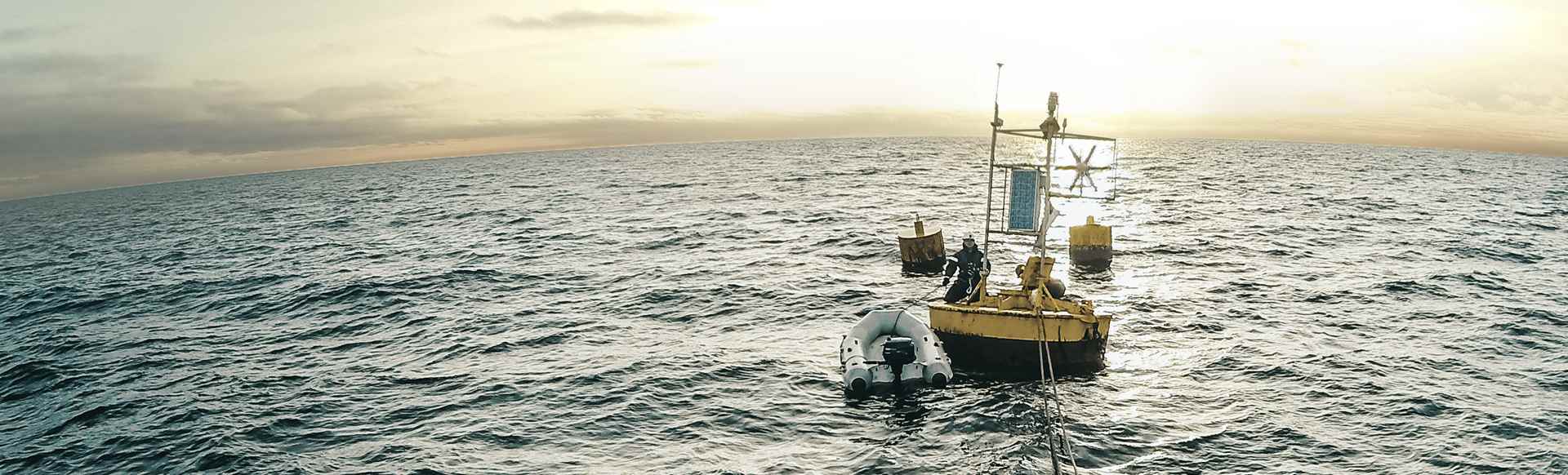
Surveys of physical and chemical parameters of water
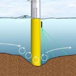
- Continuous surveys of changing water parameters with the use of multi-parameter probes installed on the bottom
- Continuous surveys of currents, waves and water levels with the use of ADCPs installed on the bottom
- Continuous surveys of underwater acoustic background with the use of hydrophones
- Survey sessions with the use of CTD devices
Water and sediment sampling
- Water sampling with the use of bathometers
- Sediment sampling with the use of grab samplers
- Shallow sediment core sampling
- Taking core samples up to 3 and 5 m in length, with the use of a vibrocorer
- Taking samples with the use of ROVs
Should you want to discuss details of your planned surveys, research, repairs or modernization of the devices you use, please contact our specialist at: mateusz.jerzak@envia.com.pl
SEE OUR PROJECTS OF MEASUREMENTS
Realization: Survey
Realization: Service